 Follow Nordpil on Twitter!
Finding the latest climate change data

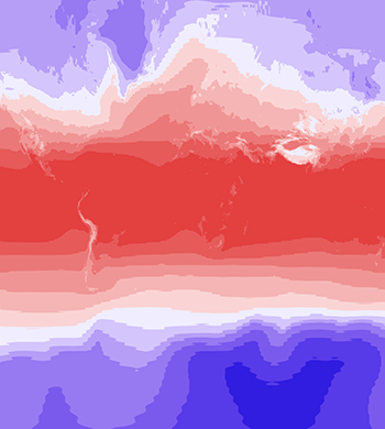 I recently had a need for updated
climate change maps for a client. The client specifically requested that the maps should contain
data from the latest analysis by the United Nations
I recently had a need for updated
climate change maps for a client. The client specifically requested that the maps should contain
data from the latest analysis by the United Nations
Intergovernmental Panel on Climate Change (IPCC), that has been published in the fifth assessment report (5AR).
This modeling and scenarios project is known as CMIP5.
I was aware of where one could easily locate data for the previous analysis, CMIP3 - one such place is ClimateWizard, which provides data that is downscaled and in data formats that are easy to work with.
For the latest data collection, one alternative is the repository provided by WorldClim. This is nicely downscaled, and also with additional variables and parameters. The problem here, though, is that the data is not calculated as an ensemble average, also that my client preferred it if the data extended over the ocean as well.
I was investigating downloading and preparing maps out of the raw CMIP5 repository (available online through the Earth System Grid Federation, ESGF), but balked at the prospect of handling hundreds of undocumented NetCDF-files (that were not very easy to bring in to ArcGIS). The potential for getting something simple wrong was also great.
Then I got a tip from the Society of Conservation GIS mailing list, which lead me to what I ultimately came to use: the NOAA ESRL/PSD Climate Change Portal. This website provides averages of all models for the variables that I was interested in: temperature, precipitation and acidity and for historical modeled data as well as future projections. The data for download is in NetCDF format, and for a change these were easy to bring into ArcGIS and ArcMap to further analyze and prepare maps from. The trick in ArcGIS is the Make NetCDF Raster Layer tool in the Multidimensions toolbox.