GIS - data management, analysis

Do you need services in Geomatics and Geographic Information Systems (GIS)?
We would love to help you solve your problems!
We have extensive experience in working with map design, data management, data capture, spatial databases and metadata for organizations such as the UN, OECD and many others.
Nordpil is a member of the ESRI Developer Network, and have deep knowledge of ArcGIS, including ArcSDE, ArcGIS Server and ArcIMS
Services we provide include:
- Migration of web maps from ArcIMS to ArcGIS Server, ArcGIS Online or open source solutions
- Implementation of interactive maps in ArcIMS, ArcGIS Server, tile cache, ArcGIS Online, GeoSuite, GeoServer, Google Earth, Google Maps and Map Server
- Interactive web maps in ArcGIS Server, Flex, ArcGIS Server JavaScript API, Leaflet and OpenLayers
- INSPIRE
- Metadata, metadata management and geospatial portal (ESRI Geoportal Server, GeoNetwork)
- Database management for extensive spatial databases in e.g.. ArcSDE and PostGIS
- Data capture and data integration, research in possible data sources
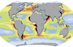
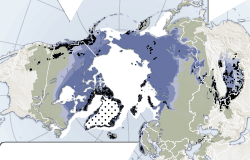
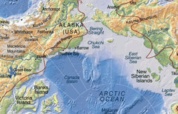
- Cartography and representation of GIS data, for print, web and interactive presentations
- Implementation and programming of flows for geoprocessing in Python or ESRI ModelBuilder
- Remote sensing integration of aerial and satellite imagery in geodatabases, rectification, classification and analysis
- Analysis and modeling in GIS studies and applications
- Map products for apps
- Training and workshops in all the above subjects
Please contact us for more information about what we can offer using the form below, and we will get back to you shortly.
 Follow Nordpil on Twitter!