July 6, 2009
Map by Nordpil for Cartography Design Annual #2

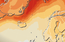
We are happy to announce that the upcoming Cartography Design Annual #2, compiled by Springer Cartographics LLC will feature a map prepared by Hugo Ahlenius, for a project at UNEP/GRID-Arendal. The publication showcases selected maps published in 2008.
From the description of the Annual: Every year the Cartography Design Annual brings together a selection of the best designed maps from around the world. The maps are chosen based on the clarity of the information, the appeal of the visual design, and the quality of the production.
 Follow Nordpil on Twitter!