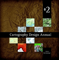
Cartography Design Annual #2
Cartography Design Annual is back with a second volume. This publication, prepared by Springer Cartographics, showcases selected samples of well-designed maps published in 2008.
The volume presents 30 different map illustrations by cartographers from around the world.
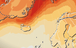
A map by Hugo Ahlenius (prepared for UNEP/GRID-Arendal) was selected for this volume. This map presents climate change projections for the circumpolar Arctic and various potential impacts. The illustration was originally prepared for a poster series on the International Polar Year (IPY) and climate change in the polar regions.
To learn more about Cartography Design Annual #2 and to order, please visit the website for the publication series for full information.
The map in the publication is presented in the Nordpil maps and graphics sample gallery.
 Follow Nordpil on Twitter!
