 Follow Nordpil on Twitter!
Maps, charts, diagrams and other illustrations
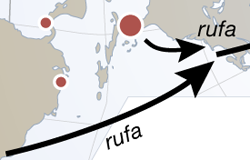
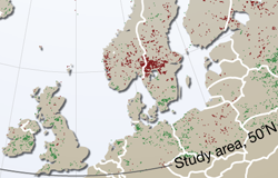
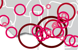
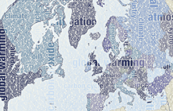
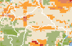
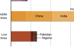
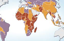
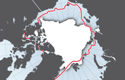
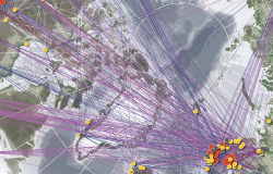
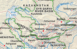
We have prepared illustrations - maps, charts, schematics, diagrams and other graphics - for major scientific and policy publications. Graphics available for download on the Internet have made their way into reports, magazines and major newspapers and are used by a wide range of organizations, from universities to small non-governmental organizations. Selected samples of output are available for viewing below - for more examples, please see the list of publications or send us a request for references. For samples of online interactive maps (e.g ArcGIS Server, Open Layers, Google Maps, Google Earth, ArcIMS) developed by Nordpil, please refer to the 'web' section of the portfolio.
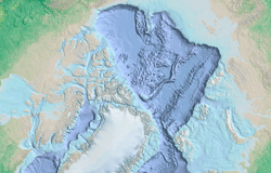
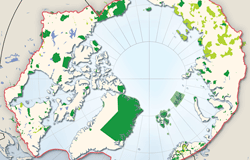
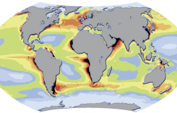

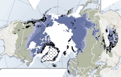
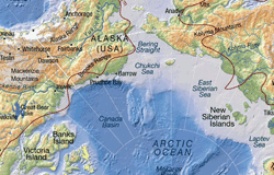
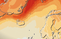
Many of the illustrations prepared by Nordpil for the UN Environment Programme (UNEP) are also available for viewing at the UNEP/GRID-Arendal Maps and Graphics Library, and on websites hosted by UNEP/GRID-Arendal.