 Follow Nordpil on Twitter!
Indonesian NSDI

 A map I currently work with covers
parts of Borneo, it is for a scientific report by Stockholm Environment Institute. I have not worked
that much with the area before, except for these maps I did for
UNEP/GRID-Arendal.
A map I currently work with covers
parts of Borneo, it is for a scientific report by Stockholm Environment Institute. I have not worked
that much with the area before, except for these maps I did for
UNEP/GRID-Arendal.
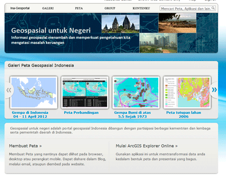
Timely that I spotted on Twitter that a beta version of the Indonesian NSDI got 'soft-launched'- here is one version of an announcement from ESRI: Indonesia NSDI: One Map for the Nation.
It took some digging to find the brand new geoportal, but eventually I got to Geospasial untuk Negeri http://maps.ina-sdi.or.id/home/gallery.html.
Great resource, and timely launch - I added a map service to my ArcMap document to work with. I had to export the static image though, and trace it in Illustrator, but that is another story...